RAF Newton

Information about airport - RAF Newton, United Kingdom

Description Value
IATA
(International Air Transport Association airport code)
No IATA code
Type Closed airport
Local airport code -
GPS airport code EGXN
Longitude 52.9664001464844
Latitude -0.989444017410278

Cities near RAF Newton, United Kingdom

City, country Distance (km)
Nottingham 11.32 km
Derby 32.94 km
Leicester 38.26 km
Sheffield 55.96 km
Coventry 71.61 km
Birmingham 81.27 km
Sandwell 83.24 km
Leeds 99.59 km

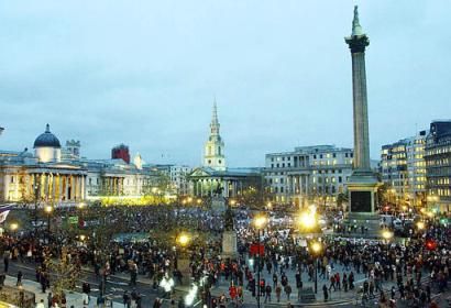
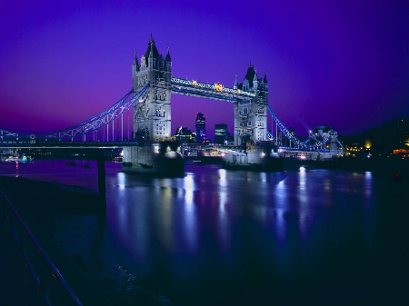
Pictures near RAF Newton, United Kingdom

gunthorpe weir River Trent Notts    o=k St Peters church Thurgaston ye old bridge inn oxton o=k Four Bells Woodborough Nottinghamshire    o=k East Bridgeford church o=k
 
Calverton church Nottinghamshire    o=k Southwell Minster from Brackenhurst   o=k Gonalston church o=k view from the top of Spring Water  golf course o=k Calverton from Foxwood bridle path    o=k
 
bell tower church in Hoveringham  o=k  Epperstone  Church Notts o=k OXTON WOODS o=k And No Bike ! 06/04/11 16.31
 
06/04/11 16.47 06/04/11 16.59 Travellers Rest River Trent Interesting old mill conversion, Kneeton Road,near East Bridgeford village.
 

Pictures of RAF Newton
Do you have a travel question?
Ask your question about travel on our Forum

Photo gallery

United Kingdom, London