RAF Akeman Street

Information about airport - RAF Akeman Street, United Kingdom

Description Value
IATA
(International Air Transport Association airport code)
No IATA code
Type Closed airport
Local airport code -
GPS airport code
Longitude 51.823889
Latitude -1.515556

Cities near RAF Akeman Street, United Kingdom

City, country Distance (km)
Cheltenham 39.6 km
Milton Keynes 59.14 km
Coventry 64.74 km
Chipping Sodbury 68.8 km
Bath 76.21 km
Birmingham 77.74 km
Sandwell 81.58 km
Keynsham 81.66 km
Bristol 84.57 km
Leicester 93.76 km

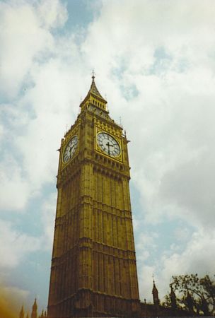
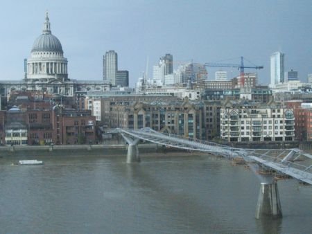
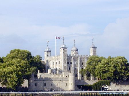
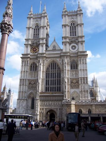
Pictures near RAF Akeman Street, United Kingdom

Shipton Station, Shipton under Wychwood Water fountain, Shipton under Wychwood Eynsham Hall Liner fisheries Motor roller on Bruern Cricket pitch
 
All Saints' Church, Churchill Charlbury from Iron Age Hill Fort above Chadlington Pudlicote House Stow-on-the-Wold (9 miles), Foxholes Wood (4 miles), Bledington (5 miles) from Langley Farm North Leigh church
 
Holy Trinity Church, Ascott-under-Wychwood Set-aside near Ascott-under-Wychwood Scots Pine at top of Pudlicote Hill Pyrton Aerial The Black Horse in Standlake
 
snakes head fritillary The Mason's Arms, North Leigh Armoured vehicle in a field near South Leigh Cotswolds 5/2007 Witney
 

Pictures of RAF Akeman Street
Do you have a travel question?
Ask your question about travel on our Forum

Photo gallery

United Kingdom, London