Mashland Airfield

Information about airport - Mashland Airfield, United Kingdom

Description Value
IATA
(International Air Transport Association airport code)
No IATA code
Type Small airport
Local airport code -
GPS airport code EGSI
Longitude 52.6404853896
Latitude 0.291835069656

Cities near Mashland Airfield, United Kingdom

City, country Distance (km)
Colchester 92.76 km
Leicester 95.97 km
Milton Keynes 96.44 km

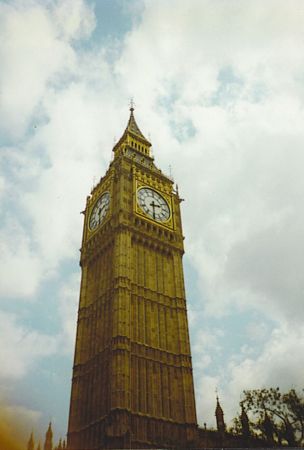
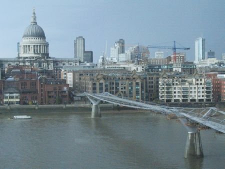
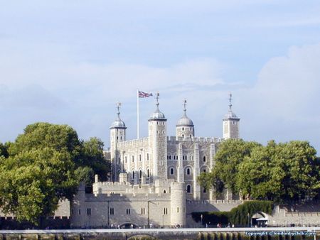
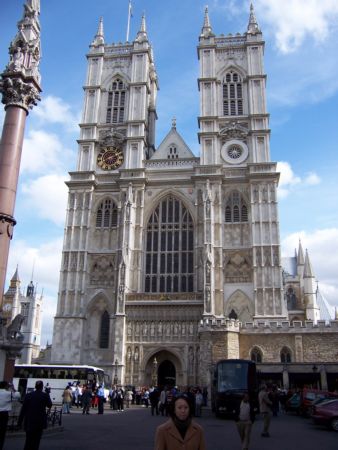
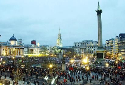
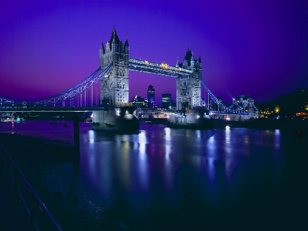
Pictures near Mashland Airfield, United Kingdom

Denver Windmill Downham Market Upwell: Detail of church tower Walpole St  Andrew Walpole St Peter Church
 
River Ouse / River Wissey Drains Pumping station, Gravel Bank Along the B1098 Tilney cum Islington, Norfolk
 
Tilney Ten Mile Bank Wiggenhall St Peter View From Train Crossing Over Water Wiggenhall St Mary
 
Nordelph Near Ten Mile Bank Denver Sunset Near walpole Tuxhill road
 

Pictures of Mashland Airfield
Do you have a travel question?
Ask your question about travel on our Forum

Photo gallery

United Kingdom, London