Leicester Airport

Information about airport - Leicester Airport, United Kingdom

Description Value
IATA
(International Air Transport Association airport code)
No IATA code
Type Small airport
Local airport code -
GPS airport code EGBG
Longitude 52.6077995300293
Latitude -1.03193998336792

Cities near Leicester Airport, United Kingdom

City, country Distance (km)
Leicester 7.19 km
Nottingham 39.37 km
Coventry 39.51 km
Derby 45.81 km
Birmingham 59.96 km
Sandwell 63.92 km
Milton Keynes 67.02 km
Sheffield 90.8 km

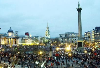
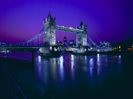
Pictures near Leicester Airport, United Kingdom

Watermead Nature Reserve, Leicestershire, UK Hill's Bridge, River Wreake Birstall village Church St James the Great LE4 4DN Thomas Cook -  inventor of tourism Tall Hinoki Cypress ? at illston on the Hill village Churchyard LE7 9ET
 
Swaminarayan Mandir (Temple) Gaulby village Church St Peter.LE7 9BE madressa  near wood hill street leicester Thatched Cottage Queniborough Leicester The Dry Dock pub
 
Masjid Umar Mosque at Evington Rd/Ln. Garden Wellingtonia  Giant Sequoia at Carlton Curlieu village Churchyard.LE8 0PH South Croxton village church. St John the Baptist.LE7 3RQ Malt Shovel Barkby Leicestershire
 
home covered with thatch Natures own tangled web at Belgrave gardens Jelsons Lake Watermead Evington Brook Leicester Leicester Skyline Sunset NYD 2010
 

Pictures of Leicester Airport
Do you have a travel question?
Ask your question about travel on our Forum

Photo gallery

United Kingdom, London