Langar Airport

Information about airport - Langar Airport, United Kingdom

Description Value
IATA
(International Air Transport Association airport code)
No IATA code
Type Small airport
Local airport code EG32
GPS airport code
Longitude 52.8816986083984
Latitude -0.902122974395752

Cities near Langar Airport, United Kingdom

City, country Distance (km)
Nottingham 18.87 km
Leicester 31.62 km
Derby 38.67 km
Coventry 67.04 km
Sheffield 67.04 km
Birmingham 80.26 km
Sandwell 82.85 km
Milton Keynes 94.91 km

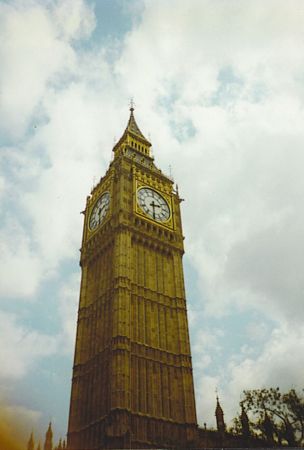
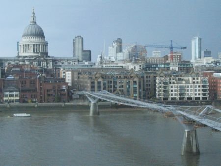
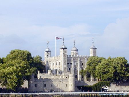
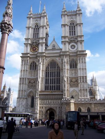
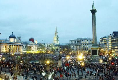
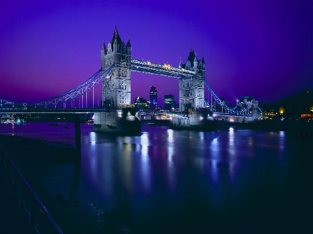
Pictures near Langar Airport, United Kingdom

Before the crash, 17 July 1984 Vale of Belvoir, Broughton Hill Bottesford Church HARBY NAGS HEAD INN o=k Bingham walkway  o=k
 
Welby Church near Melton Mowbray Upper Broughton, The Golden Fleece Newton tiny village o=k St Michael and All Angels Eastwell Leics Hickling Pool reflected
 
Kinoulton, St Lukes, in the red sunset. Colston Bassett Church Birds and Gargoyles Long Clawson Windmill Royal Oak Car Colston Long Clawson Manor House
 
Rose and Crown Hose Belvoir St Guthlac's, Stathern St Peter and St Paul Barkestone Waltham on the Wolds Former Royal Horseshoes Old Rail Bridge near Harby
 

Pictures of Langar Airport
Do you have a travel question?
Ask your question about travel on our Forum

Photo gallery

United Kingdom, London