Kent International Airport (MSE)

Information about airport - Kent International Airport, United Kingdom

Description Value
IATA
(International Air Transport Association airport code)
MSE
Type Medium airport
Local airport code -
GPS airport code EGMH
Longitude 51.3422012329
Latitude 1.34610998631

Cities near Kent International Airport, United Kingdom

City, country Distance (km)
Colchester 68.69 km
Tunbridge Wells 79.02 km
De Panne 90.98 km

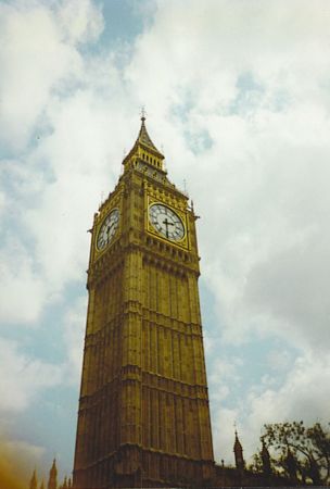
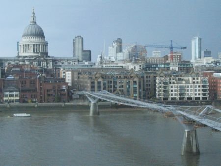
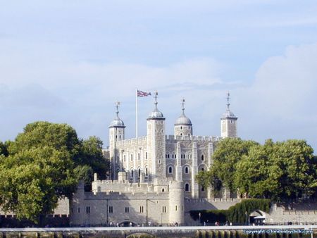
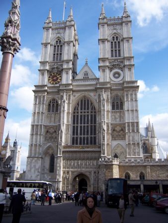
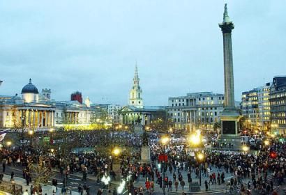
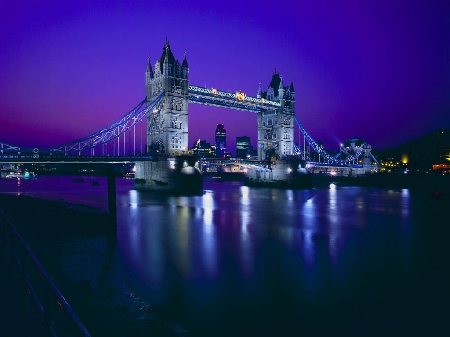
Pictures near Kent International Airport, United Kingdom

Favorite seaside holiday Very nice view Sandwich - a town of history and beauty. Early call. A bird on the beach
 
Richborough La porta rossa, Ash, agosto 1994 Sunrise (Broadstairs, UK) SHOPS ON THE WATER FRONT Sandwich bay (Ramsgate)
 
Summertime, And the livin' is easy... Pegwell Bay Hotel, Ramsgate RAF Manston THE ENGLASH COLLAGE AND HOTEL IN RAMSGATE Pegwell Bay
 
BOATS AT SANDWICH KENT Square close to Lombard St. Sandwich golf club, England North Stream Morton's Fork, Minster
 

Pictures of Kent International Airport
Do you have a travel question?
Ask your question about travel on our Forum

Photo gallery

United Kingdom, London