Kemble Airport

Information about airport - Kemble Airport, United Kingdom

Description Value
IATA
(International Air Transport Association airport code)
No IATA code
Type Small airport
Local airport code -
GPS airport code EGBP
Longitude 51.668098449707
Latitude -2.05694007873535

Cities near Kemble Airport, United Kingdom

City, country Distance (km)
Cheltenham 25.65 km
Chipping Sodbury 27.79 km
Bath 38.09 km
Keynsham 41.5 km
Bristol 43.63 km
Weston-super-Mare 72.88 km
Shaftesbury 74.29 km
Coventry 90.14 km
Birmingham 91.32 km
Sandwell 93.24 km

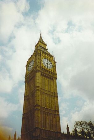
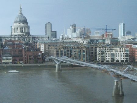
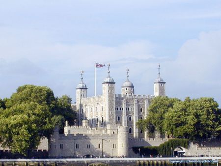
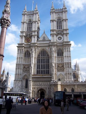
Pictures near Kemble Airport, United Kingdom

Good morning world (low res) Garden Lookout CASITAS EN EL LAGO Cirencester Parish Church Archway remnant, Malmsbury.
 
HST leaving Stroud on the Gloucester to Swindon line Through the valley to Bisley Down amongst the flowers Trees, near Lower End, Gloucestershire (west-north-west) West along the Valley from Chalford
 
Water Tower, Kemble Railway Station. Glider Cafe cirencester-amphitheatre gingerbread cottage Old cider press, near the Tunnel House Inn, Coates Portal.
 
House by the lake Snowy trees in the evening sun The wells at Bisley Whatley Manor Lurking Deer
 

Pictures of Kemble Airport
Do you have a travel question?
Ask your question about travel on our Forum

Photo gallery

United Kingdom, London