Fadmoor Airfield

Information about airport - Fadmoor Airfield, United Kingdom

Description Value
IATA
(International Air Transport Association airport code)
No IATA code
Type Small airport
Local airport code -
GPS airport code EG19
Longitude 54.3080863149
Latitude -0.983104705811

Cities near Fadmoor Airfield, United Kingdom

City, country Distance (km)
York 39.44 km
Leeds 67.88 km
Sunderland 71.39 km
Bradford 76.4 km

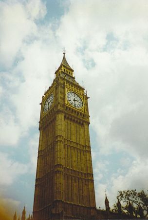
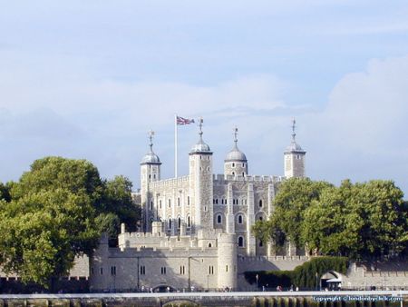
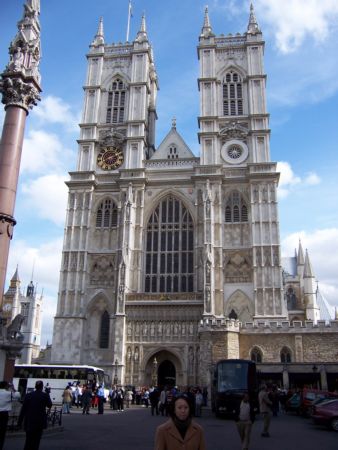
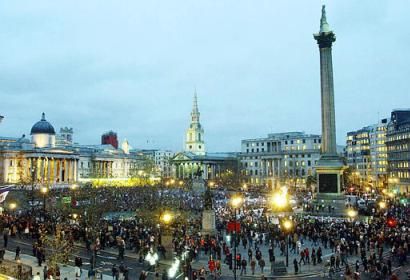
Pictures near Fadmoor Airfield, United Kingdom

Just for a moment HELMSLEY North Yorkshire village Welburn Hall School, Welburn, Kirbymoorside NEAR ROSEDALE. NORTH YORKSHIRE
 
Rosedale Abbey Rosedale West iron ore mines ,the walls of calcination kilns Hurry up Ethel ! Hutton le hole The Church of St Saviour, Harome, North Yorkshire
 
Geometric landscape Farndale, North Yorkshire Farndale, North Yorkshire Farndale Cottages Ingleby Incline
 
Otter Cottage War memorial cross at All Saint's Rosedale North Yorkshire Moors Peacock at the entrance of Duncombe Park Headlands School Field Centre
 

Pictures of Fadmoor Airfield
Do you have a travel question?
Ask your question about travel on our Forum

Photo gallery

United Kingdom, London