Brough Airport

Information about airport - Brough Airport, United Kingdom

Description Value
IATA
(International Air Transport Association airport code)
No IATA code
Type Small airport
Local airport code -
GPS airport code EGNB
Longitude 53.7196998596191
Latitude -0.566332995891571

Cities near Brough Airport, United Kingdom

City, country Distance (km)
York 42.96 km
Leeds 65.3 km
Sheffield 70.15 km
Bradford 78.4 km
Nottingham 93.81 km

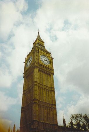
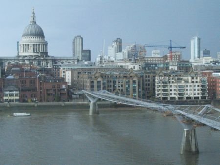
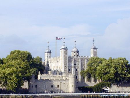
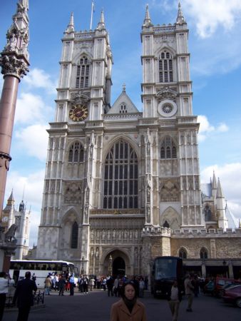
Pictures near Brough Airport, United Kingdom

Labyrinth a house welton kachcha road to welton water Hull Trains Class 222 at North Ferriby brough
 
Humber Bridge 1 Humber Bridge, Ferribi Ivy-covered house in South Cave Scanthorpe -  Normanby   fot. J. W. p.o. and shops-brough
 
Humber Bridge Sunrise Nutwood, Raywell Ten Village sign and lamp post in Swanland, East Yorkshire Boats in East Drain
 
Winteringham All Saints Parish Church, North Cave Tree East Drain Bridge at Saxby Wolds Way,
 

Pictures of Brough Airport
Do you have a travel question?
Ask your question about travel on our Forum

Photo gallery

United Kingdom, London