Meiringen Airport
Information about airport - Meiringen Airport, Switzerland
|
Cities near Meiringen Airport, Switzerland
| City, country | Distance (km) |
| Lucerne | 36.78 km |
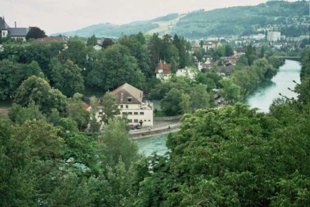
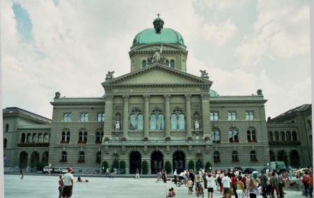
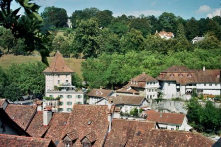
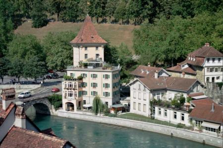
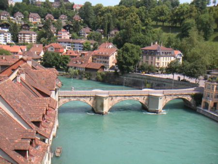
| Bern | 55.61 km |
| Zurich | 76.75 km |
| Basel | 98.87 km |
Pictures near Meiringen Airport, Switzerland

![SWI Lungern [Lungernsee] from train {speedy 80km/h} Panorama by KWOT](https://photos.worldtravelserver.com/photo/26587/thumb/88911122.jpg)


![(me'11) Giessbach Falls at Lake Brienz [170°]](https://photos.worldtravelserver.com/photo/26587/thumb/57485491.jpg)


![wildgärst summit - early morning view towards eiger [www.jochendysli.ch]](https://photos.worldtravelserver.com/photo/26587/thumb/6420849.jpg)


Do you have a travel question?
Ask your question about travel on our Forum
Ask your question about travel on our Forum