Blackie Swart Airport

Information about airport - Blackie Swart Airport, South Africa

Description Value
IATA
(International Air Transport Association airport code)
No IATA code
Type Small airport
Local airport code -
GPS airport code
Longitude -25.5755004882812
Latitude 30.9758605957031

Cities near Blackie Swart Airport, South Africa

City, country Distance (km)
Mbabane 84.52 km

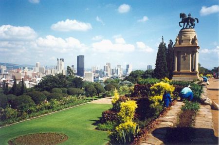
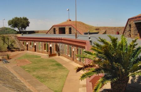
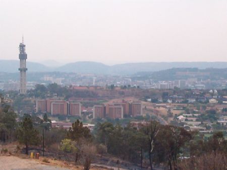
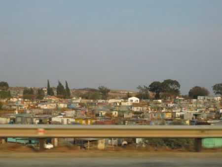
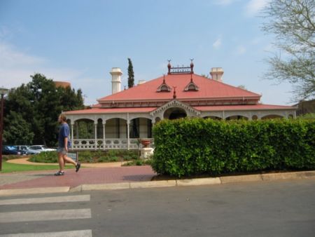
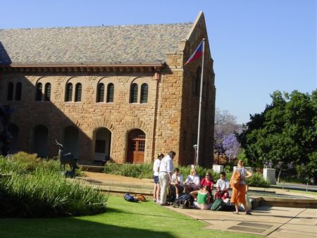
Pictures near Blackie Swart Airport, South Africa

Looking North on the Uitkyk Road Off-Road in the Barberton NR On the Uitkyk Road View from "Party Poopers" Jacaranda Trees on the Uitkyk Road
 
Jacaranda Blyde rivier- Zuid Afrika road view from Nelspruit to Barberton House 2b
 
Barberton NR 4x4 On the Uitkyk Road On a 4x4 trail Nelspruit Reserve Nelspruit Reserve
 
Nelspruit     

Pictures of Blackie Swart Airport