Babanakira Airport (MBU)

Information about airport - Babanakira Airport, Solomon Islands

Description Value
IATA
(International Air Transport Association airport code)
MBU
Type Small airport
Local airport code -
GPS airport code AGGI
Longitude -9.7475004196167
Latitude 159.839004516602

Cities near Babanakira Airport, Solomon Islands

City, country Distance (km)
Honiara 36.87 km

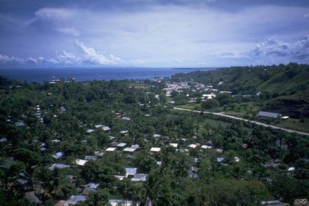
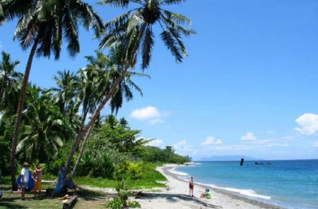
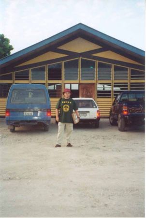
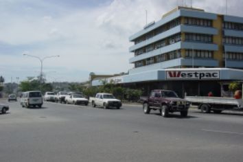
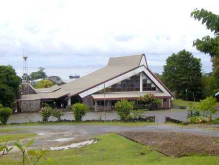
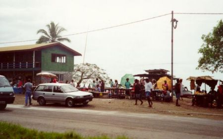
Pictures near Babanakira Airport, Solomon Islands

Looking north up the Tina River valley Komate market weathercoast Guadalcanal Kologhona school - landing ground Itina River flowing south to weathercoast Guadalcanal mountain - central Guadalcanal range
 
playing games looking west central Guadalcanal Itina River flowing south to weathercoast Guadalcanal looking east from Mbiti, Guadalcanal weathercoast Mbambanakira Airstrip - overgrown and closed
 
Mbiti Telekom mobile tower Cape Hunter track north of Mbambanakira Airstrip looking south west central Guadalcanal looking west to Cape Hunter
 
looking south down Itina River flood plain looking west central Guadalcanal Itina River stone flood plain looking south Weather coast looking west to Cape hunter, weather coast guadalcanal
 

Pictures of Babanakira Airport