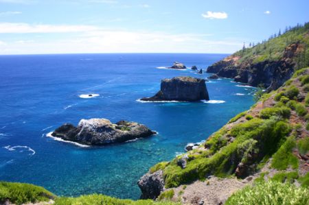
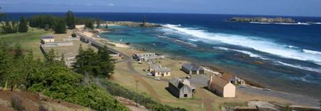
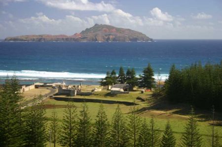
Distance from Kingston to Port-Vila
Distance information from Kingston, Norfolk Island to Port-Vila
Geographical distance from Kingston to Port-Vila 1266.36 kilometers
786.19 seven miles
683.59 nautical miles
Road distance from Kingston to Port-Vila
Distance on the map From Kingston, Norfolk Island to Port-Vila
Closest distances from Kingston, Norfolk Island
| City | Distance |
| Noumea | 767.31 km |
| Kerikeri | 888.48 km |
| Paihia | 901.37 km |
| Russell | 901.62 km |
| Mata-Utu (on Ile Uvea) | 946.36 km |
| Auckland | 1077.16 km |
| New Plymouth | 1246.86 km |
| Port-Vila | 1266.36 km |
| Rotorua | 1267.83 km |
| Wanganui | 1371.36 km |
| Byron Bay | 1397.02 km |
| Ballina | 1399.79 km |
| Hastings | 1430.63 km |
| Coffs Harbour | 1438.7 km |
| Nelson | 1441.9 km |
| Port Macquarie | 1469.24 km |
| Brisbane, QLD | 1471.14 km |
| Wellington | 1493.19 km |
| Kadavu | 1516.61 km |
| Hervey Bay | 1558.85 km |
| Toowoomba | 1574.47 km |
| Pacific Harbour | 1583.09 km |
| Nadi | 1583.25 km |
| Newcastle, NSW | 1602.78 km |
| Bundaberg | 1613.44 km |
| Suva | 1615.02 km |
| Gosford, NSW | 1650.87 km |
| Tamworth | 1653.69 km |
| Christchurch | 1662.43 km |
| Sydney, NSW | 1678.65 km |
Select city to calculate distance from Kingston, Norfolk Island
Check distances from Port-Vila
| City | Distance |
| Mata-Utu (on Ile Uvea) | 379.38 km |
| Noumea | 550.78 km |
| Nadi | 962.41 km |
| Pacific Harbour | 1030.67 km |
| Kadavu | 1043.08 km |
| Suva | 1068.23 km |
| Savusavu | 1171.41 km |
| Kingston | 1266.36 km |
| Honiara | 1289.41 km |
| Funafuti | 1553.4 km |
Do you have a travel question?
Ask your question about travel on our Forum
Ask your question about travel on our Forum