Norfolk Island International Airport (NLK)

Information about airport - Norfolk Island International Airport, Norfolk Island

Description Value
IATA
(International Air Transport Association airport code)
NLK
Type Medium airport
Local airport code -
GPS airport code YSNF
Longitude -29.0415992736816
Latitude 167.938995361328

Cities near Norfolk Island International Airport, Norfolk Island

City, country Distance (km)
Kingston 2.39 km

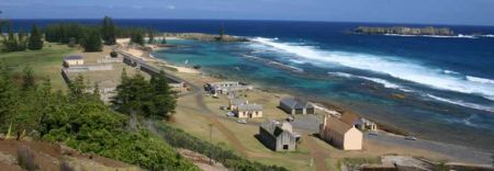
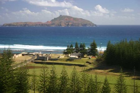
Pictures near Norfolk Island International Airport, Norfolk Island

Norfolk Tree Fern (Cyathea Brownii) - world tallest tree fern Point Hunter, at sunset, looking South at Nepean Island Anson Bay Bird Rock, Norfolk Island Arches - part of the old Penal Colony on Norfolk Island
 
Mount Pitt, Norfolk Island Cascade Bay Track to Captain Cook Lookout The old Water Mill Burnt Pine (1996), from Mt Pitt. While Kingston is the centre of Govt, this area supplies the island's needs and services
 
Coastline Palm Walk Track Nepean Island as viewed from Phillip Island Ball Bay Inside Catholic Church
 
Emily Bay Park Rangers setting up monitoring equipment St Barnabas' Chapel (1996). This was orginally built for the Melanesian Mission, whose school was based here between 1866 and 1920 View from Puppys Point - looking at Jacobs Rock & Anson Point Acropora solitaryensis.  Norfolk Island, Coral Sea.  Dissected plates in shallow water exposed to strong wave action.  Photograph: Charlie Veron.
 

Pictures of Norfolk Island International Airport