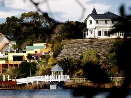
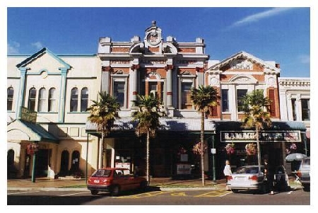
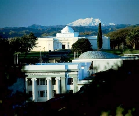
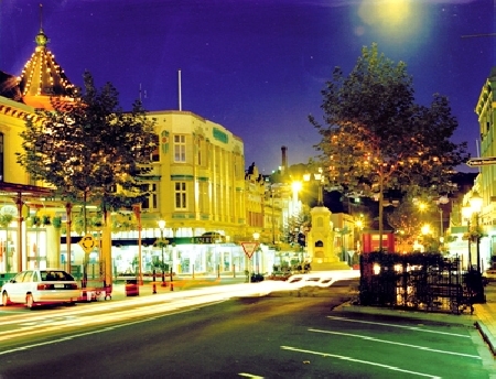
Distance from Wanganui to Port Macquarie
Distance information from Wanganui, New Zealand to Port Macquarie
Geographical distance from Wanganui to Port Macquarie 2203.1 kilometers
1368.06 seven miles
1189.52 nautical miles
Road distance from Wanganui to Port Macquarie
Distance on the map From Wanganui, New Zealand to Port Macquarie
Closest distances from Wanganui, New Zealand
| City | Distance |
| New Plymouth | 126.73 km |
| Wellington | 152.02 km |
| Hastings | 158 km |
| Nelson | 211.09 km |
| Rotorua | 224.79 km |
| Auckland | 340.07 km |
| Christchurch | 447.16 km |
| Paihia | 523.54 km |
| Russell | 525.64 km |
| Kerikeri | 532 km |
| Queenstown | 770.16 km |
| Kingston | 1371.36 km |
| Noumea | 2122.66 km |
| Port Macquarie | 2203.1 km |
| Wollongong | 2217.41 km |
| Newcastle, NSW | 2217.64 km |
| Sydney, NSW | 2219.36 km |
| Gosford, NSW | 2225.78 km |
| Coffs Harbour | 2254.04 km |
| Nuku`alofa | 2286.04 km |
| Mata-Utu (on Ile Uvea) | 2291.5 km |
| Ballina | 2313.96 km |
| Hobart, TAS | 2324.26 km |
| Byron Bay | 2324.97 km |
| Canberra, ACT | 2332.11 km |
| Kadavu | 2340.51 km |
| Launceston | 2348.02 km |
| Tamworth | 2383.78 km |
| Devonport | 2411.19 km |
| Orange | 2420.75 km |
Select city to calculate distance from Wanganui, New Zealand
Check distances from Port Macquarie
| City | Distance |
| Coffs Harbour | 128.55 km |
| Tamworth | 192.18 km |
| Newcastle, NSW | 197.58 km |
| Gosford, NSW | 265.14 km |
| Ballina | 293.87 km |
| Sydney, NSW | 316.5 km |
| Byron Bay | 318.36 km |
| Wollongong | 381.24 km |
| Orange | 411.64 km |
| Brisbane, QLD | 441.2 km |
Do you have a travel question?
Ask your question about travel on our Forum
Ask your question about travel on our Forum