Taharoa Iron Sands Heliport

Information about airport - Taharoa Iron Sands Heliport, New Zealand

Description Value
IATA
(International Air Transport Association airport code)
No IATA code
Type Heliport
Local airport code -
GPS airport code NZAH
Longitude -38.1650009155273
Latitude 174.705001831055

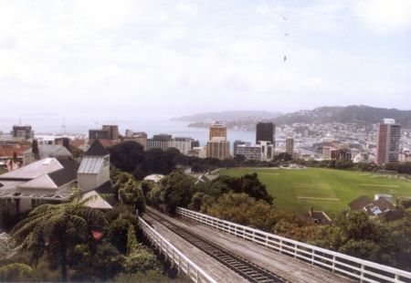
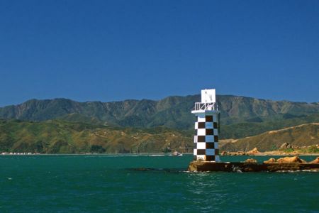
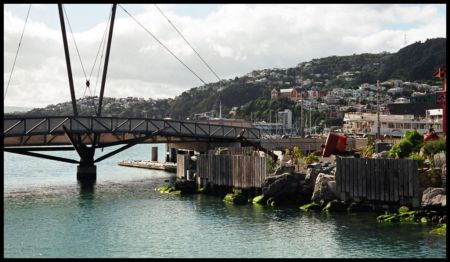
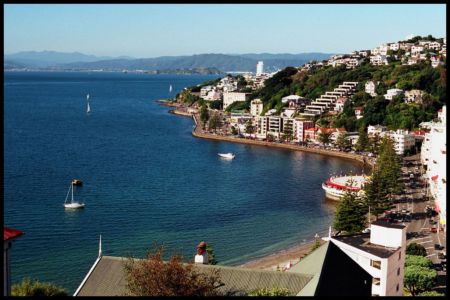
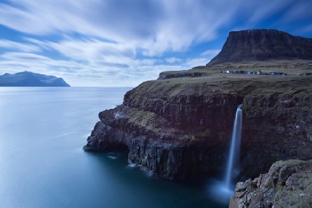
Pictures near Taharoa Iron Sands Heliport, New Zealand

Coastal Vista near Taharoa ,Waikato Coast - North Island, New Zealand. Dusk in the Te Anga valley - approaching Marokopa A peek down to the ironsands mining operation Crazy sandstone with mini Moeraki-boulder concretions
 
Taharoa Beach, looking north (low tide) Lake Taharoa: no public access points Junction with the road to Taharoa Unnamed Falls, Te Waihere Road (?), New Zealand Te Maika phone box
 
Kawhia (Harbour entrance) Ironsand ship Taharoa Express, loading 20.4.99B Tree on Kawhia Beach Kawhia Harbour Mouth very, very early in the morning.. Wet Plant move 26.1.01G
 
Wet Plant move 26.1.01A Details on the sculpture's plaque--click to enlarge Taharoa Beach, looking south Worth the long walk Albatross Point from Te Maika
 

Pictures of Taharoa Iron Sands Heliport