Kaitaia Hospital Heliport

Information about airport - Kaitaia Hospital Heliport, New Zealand

Description Value
IATA
(International Air Transport Association airport code)
No IATA code
Type Heliport
Local airport code -
GPS airport code NZJK
Longitude -35.1183013916016
Latitude 173.261001586914

Cities near Kaitaia Hospital Heliport, New Zealand

City, country Distance (km)
Kerikeri 64.4 km
Paihia 77.55 km
Russell 80.23 km

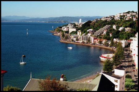
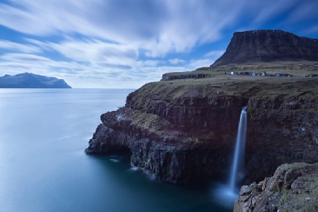
Pictures near Kaitaia Hospital Heliport, New Zealand

Ancient Kauri Kingdom - Volume of a rela kauri tree 90 mile beach comet mcnaught Landscape near Kaitaia at sunset Waipapakuri Beach, NZ
 
ninety mile beach Lake Ngatu during winter Awanui Waimanoni Marae
 
Awanui 2 Signage distances 90 Mile Beach - looking north DSCN0007
 
On the way to 90 Miles Beach, North Island, New Zealand 1997 The Pine Tree on Ninety Mile Beach Awanui 2 Ahipara
 

Pictures of Kaitaia Hospital Heliport