Satar Tacik Airport (RTG)

Information about airport - Satar Tacik Airport, Indonesia

Description Value
IATA
(International Air Transport Association airport code)
RTG
Type Small airport
Local airport code -
GPS airport code WATG
Longitude -8.59700965881348
Latitude 120.476997375488

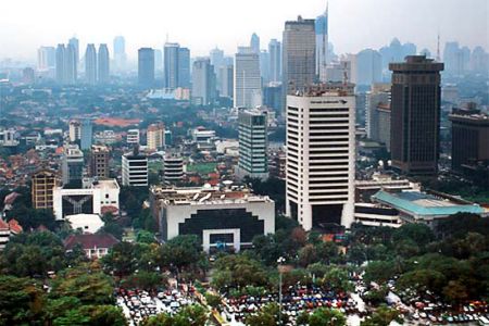
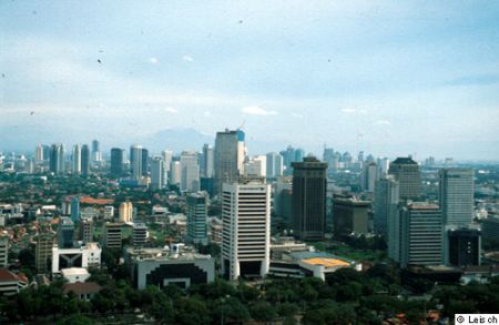
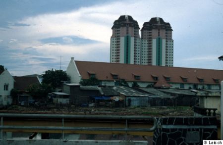
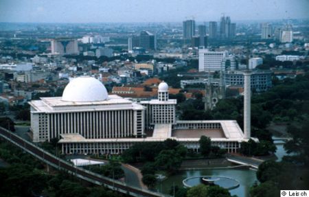
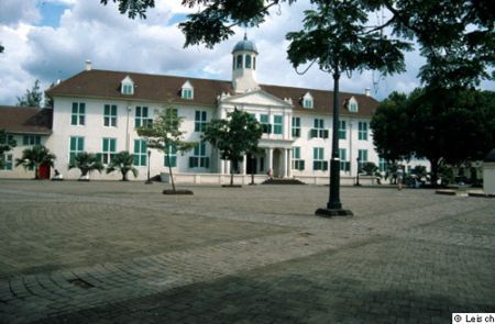
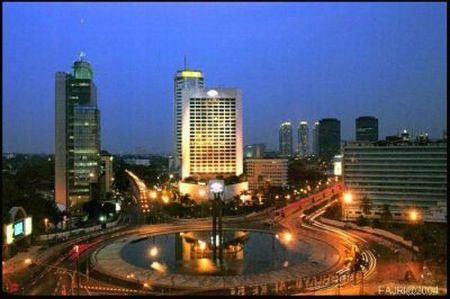
Pictures near Satar Tacik Airport, Indonesia

spiderweb rice fields Lake Ranamese, Manggarai Rice field at Sondeng, Wae Rii Subdistrict Rice fields around Ruteng Rice fields around Ruteng3
 
The new Cathedral in Ruteng, Flores - 2003 Upacara adat Penti di Kuwu, Cibal Heaven above the clouds Abandoned stadium at Ruteng rice field and Tengku Lese waterfall on background
 
Ruteng Enjoying Liang Bua Cave Flores Near Ruteng Gunung Ranaka view from Mano, Manggarai Timur Road to "Poco Kenti", Tenda Ruteng
 
Rice fields Ruteng from Golo Curu (Welcome Hill); July 2006 Rice field view at Lerang, Manggarai Timur Galian Pasir, Wae Lengkas, Taga_Ruteng # Juni '12 Tikungan menurun ke Wae Garik, Trans Flores High Way_Manggarai
 

Pictures of Satar Tacik Airport