Kunjali Helipad

Information about airport - Kunjali Helipad, India

Description Value
IATA
(International Air Transport Association airport code)
No IATA code
Type Heliport
Local airport code -
GPS airport code
Longitude 18.895273369
Latitude 72.8084939718

Cities near Kunjali Helipad, India

City, country Distance (km)
Bombay 14 km

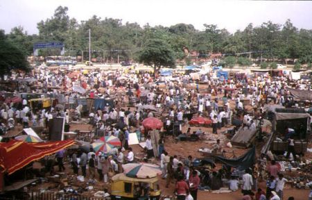
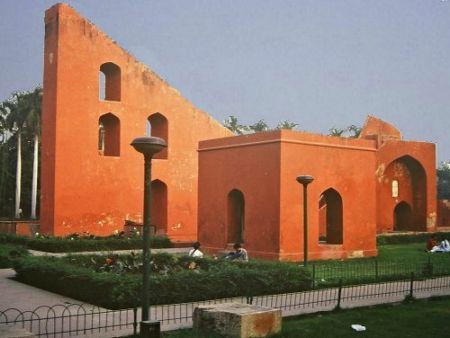
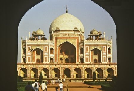
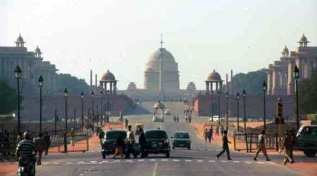
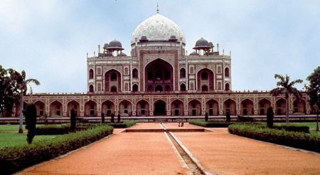
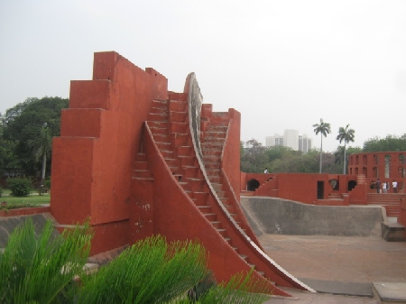
Pictures near Kunjali Helipad, India

Mandva Bunder Ali Baug Villa Mandva Beach View from launch the shoreline of Mumbai Good Night Mumbai !
 
Albatross Birds, On way to Elephanta Seagull Flying With Mandwa to Mumbai. Mandwa Glory Mumbai Bay Lighthouse Sir Jamjetji Garden
 
Mumbai shoreline as seen from launch On the way to Elephanta Caves, View from Launch Mumbai, View from Moving Train Dhobi Ghat kazi street
 
Savitri Phule Girls' Hostel Moving towards Elephanta Caves, Mumbai !!! Mumbai (2003-02) - Street market at Chor's Bazar AOM_MUMBAY/BOMBAY_2013_06 India street life
 

Pictures of Kunjali Helipad