Langhennersdorf Airport

Information about airport - Langhennersdorf Airport, Germany

Description Value
IATA
(International Air Transport Association airport code)
No IATA code
Type Small airport
Local airport code -
GPS airport code EDOH
Longitude 50.9483337402344
Latitude 13.2616672515869

Cities near Langhennersdorf Airport, Germany

City, country Distance (km)
Chemnitz 26.92 km
Dresden 34.96 km
Decin 69.36 km
Zatec 72.72 km
Leipzig 75.74 km
Carlsbad 84.29 km

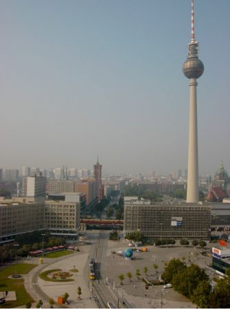
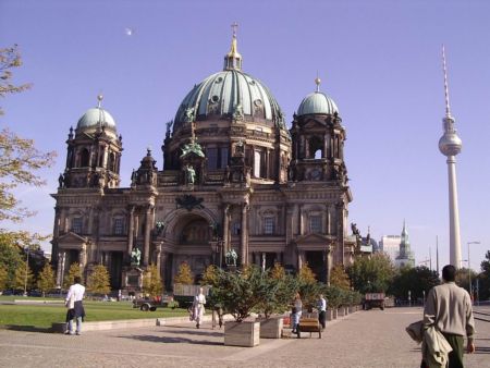
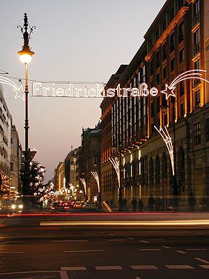
Pictures near Langhennersdorf Airport, Germany

Iluminando mi camino... CONTEST Winterkleid - winter dress Un aplauso al Astro Rey Car lights at night on the highway A4 Striegistal, Marbach
 
Stadtkirche zu Oederan Mobendorfer Ansichten - drohendes Unwetter 12.07.2012 Herbststimmung am Zechenteich / Großschirma DoernerZaunGrenzEckVersteck - mein kosmetisches Freiberg - 291210 Es war kein Freitag
 
Montags im Mischwald Hovy ha sa'yju Temple of The Church of Jesus Christ of Latter-day Saints (Freiberg/Germany) Bridge Historische Altstadt von Freiberg
 
altes Kahnhebehaus Freiberg; Old city by night Adventssonderzug nach Zwickau am 09.12.2012 Rogagui Hohe Esse bei Halsbrücke
 

Pictures of Langhennersdorf Airport