Tamworth Hospital Helipad

Information about airport - Tamworth Hospital Helipad, Australia

Description Value
IATA
(International Air Transport Association airport code)
No IATA code
Type Heliport
Local airport code YXTW
GPS airport code YXTW
Longitude -31.07457
Latitude 150.92641

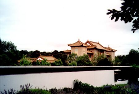
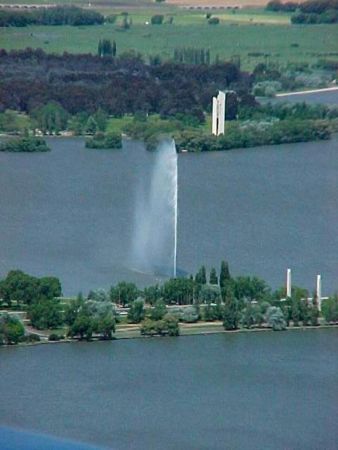
Pictures near Tamworth Hospital Helipad, Australia

Country Lane Power to the people Flagstaff Mountain, Top of Kamilaroi Walking Track, about 820m asl Sunset Rainy Blackjack Mountain
 
Dusk on the Peel River Giant Rooster DSC_39221 Up the valley from 'Crystal Springs' Moore Creek Clouds, Tamworth
 
Farm Land Nemingha Thirri Thirri Farm located on Gallagher Road Nemingha Iron plough Abandoned House New England Highway Tintinhull NSW Freemo's View
 
Sunset in Tamworth Tamworth from Wallaby Rocks Lookout Tamworth "Australian Equine & Livestock Events Centre" Wallaby Rocks One of Australia's BBQ's
 

Pictures of Tamworth Hospital Helipad

Photo gallery

Australia, Canberra, ACT