RFC All Hallows / RAF All Hallows

Information about airport - RFC All Hallows / RAF All Hallows, United Kingdom

Description Value
IATA
(International Air Transport Association airport code)
No IATA code
Type Closed airport
Local airport code -
GPS airport code
Longitude 51.4657720416
Latitude 0.634846687317

Cities near RFC All Hallows / RAF All Hallows, United Kingdom

City, country Distance (km)
Tunbridge Wells 45.28 km
Colchester 51.08 km
London 52.73 km
Brighton 89.27 km

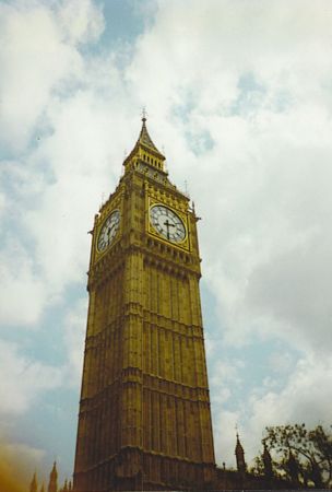
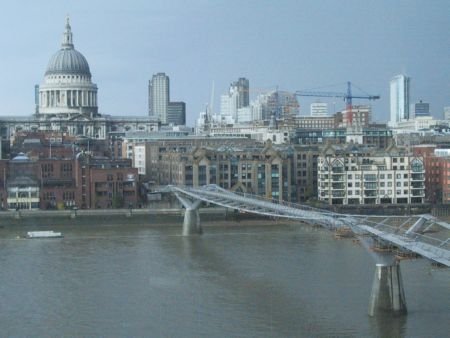
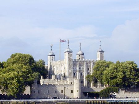
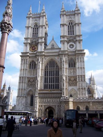
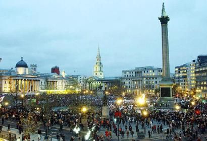
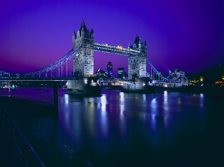
Pictures near RFC All Hallows / RAF All Hallows, United Kingdom

Canvey Style Canvey Island Canvey Island Canvey Island Northwood Hill
 
Canvey Island - Lobster Smack Canvey Island Canvey 13th century Hadleigh Castle "bowers gifford" essex. mar 2013
 
Folyótorkolat (Firth from the air) "cattle pen" hadleigh country park. essex. aug 2012 Erőmű felülről (Grain Power Station from the air) fab sunrise in merton road container
 
red sky on canvey marshes Gnome Home at the bottom of the garden, Allhallows, Rochester, Kent, UK. sunset A distant Southend viewed from the Old Water Tower, Allhallows, Rochester, Kent, UK. "sapplings" church rd. bowers gifford. essex. mar 2013
 

Pictures of RFC All Hallows / RAF All Hallows
Do you have a travel question?
Ask your question about travel on our Forum

Photo gallery

United Kingdom, London