Lower Upham Farm Airfield

Information about airport - Lower Upham Farm Airfield, United Kingdom

Description Value
IATA
(International Air Transport Association airport code)
No IATA code
Type Small airport
Local airport code -
GPS airport code
Longitude 51.4966945187
Latitude -1.71270847321

Cities near Lower Upham Farm Airfield, United Kingdom

City, country Distance (km)
Bath 46.51 km
Chipping Sodbury 47.81 km
Cheltenham 51.32 km
Keynsham 55.16 km
Bristol 60.78 km
Shaftesbury 64.08 km
Weston-super-Mare 89.16 km
Milton Keynes 90.64 km

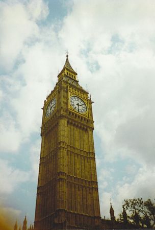
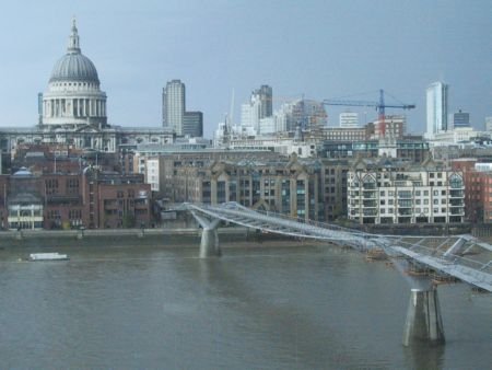
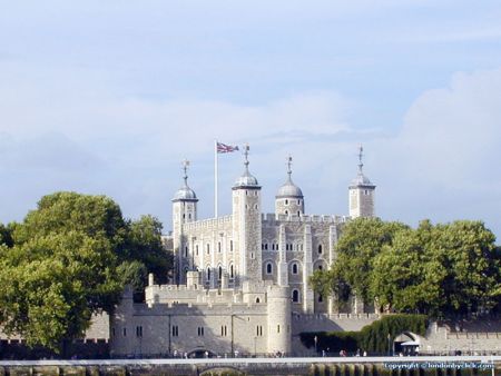
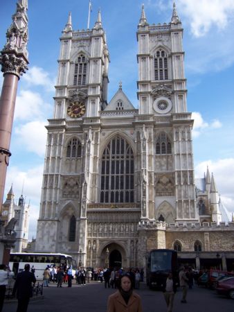
Pictures near Lower Upham Farm Airfield, United Kingdom

Adelante on the way to Paddington - a sight that won't be seen again on this line 2007.07.18 - UK - Wiltshire, White's Hill, nr Ramsbury (blé) Beech trees and bluebells in Cobham Frith Disc harrowing, Peaks Downs, near Baydon Byway to Aldbourne, west of Baydon July 2009
 
The Green, Aldbourne, Marlborough (N) 09 March 2011 Golden Arrow Service Station, Froxfield, Marlborough Wheat field on the Ridgeway Snowfall Power,  RailFreight, Workshop
 
Highland Cattle....in Wiltshire! Ramsbury seen from Spring Hill Field near Aldbourne Towards White Horse Hill
 
St. Michael's Church, Aldbourne, from Ewins Hill Wayland's Smithy Fyfield Down The River Kennet in Ramsbury West Woods
 

Pictures of Lower Upham Farm Airfield
Do you have a travel question?
Ask your question about travel on our Forum

Photo gallery

United Kingdom, London