Colerne Airport

Information about airport - Colerne Airport, United Kingdom

Description Value
IATA
(International Air Transport Association airport code)
No IATA code
Type Small airport
Local airport code -
GPS airport code EGUO
Longitude 51.4390983582
Latitude -2.28639006615

Cities near Colerne Airport, United Kingdom

City, country Distance (km)
Bath 8.11 km
Chipping Sodbury 13.54 km
Keynsham 14.9 km
Bristol 20.96 km
Shaftesbury 48.63 km
Weston-super-Mare 48.91 km
Cheltenham 53.04 km
Bridgend 90.02 km

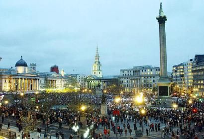
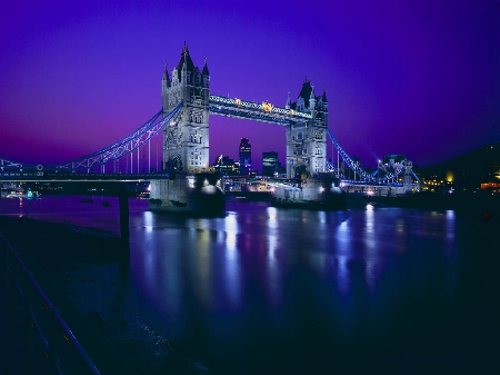
Pictures near Colerne Airport, United Kingdom

ENG (GBR) Bath Roman Baths & Abbey Panorama by KWOT ENG (GBR) ~Bath & North East Somerset~ Claverton Down {country area} {speedy 60km/h} from bus by KWOT Autumn Colours In Bath Bradford-on-Avon Town Bridge Great Chalfield Manor
 
Along the River Avon, near Cleveland Bridge Sydney Buildings backdrop the canal, Bath. Bath Prior Park Landscape Garden Bath - view from Solsbury Hill behind Bailbrook Lane
 
Narrow Boats On The Kennet & Avon Ravenscroft Corsham Bunker The village lock-up, Mill Lane, Monkton Combe Midford Castle, near Midford, Somerset
 
St. Nicholas Church, Bathampton. Georgian Manor House at Court's Garden Midford viaduct, Midford (W) Barge Inn ~ Bradford on Avon. Bridge, Kennet & Avon Canal.
 

Pictures of Colerne Airport
Do you have a travel question?
Ask your question about travel on our Forum

Photo gallery

United Kingdom, London