-
Förenade kungariket Storbritannien
- mer om detta land
- Afghanistan
- Albanien
- Algeriet
- Amerikanska Samoa
- Andorra
- Angola
- Anguilla
- Antigua och Barbuda
- Argentina
- Armenia
- Aruba
- Australien
- Azerbajdzjan
- Bahamas,
- Bahrain
- Bangladesh
- Barbados
- Belgien
- Belize
- Benin
- Bermuda
- Bhutan
- Bolivia
- Bosnien och Hercegovina
- Botswana
- Brasilien
- Brunei
- Bulgarien
- Burkina Faso
- Burundi
- Caymanöarna
- Centralafrikanska republiken
- Chad
- Chile
- Cocos (Keeling) Islands
- Colombia
- Cooköarna
- COSTA RICA
- Cote d `voire
- Cypern
- Danmark
- Djibouti
- Dominica
- DOMINIKANSKA REPUBLIKEN
- Ecuador
- Egypten
- Ekvatorial Guinea
- El Salvador
- Eritrea
- Estland
- Etiopien
- Falklandsöarna (Islas Malvinas)
- Faroe Islands
- Fiji
- Filippinerna
- Finland
- Frankrike
- Franska Guyana
- Franska Polynesien
- Förenade Arabemiraten
- Förenade kungariket Storbritannien
- Gabon
- Gambia, Den
- Georgien
- Ghana
- Gibraltar
- Grekland
- Grenada
- Grönland
- Guadeloupe
- Guam
- Guatemala
- Guernsey
- Guinea
- GUINEA-BISSAU
- Guyana
- Haiti
- Honduras
- Hong Kong
- Indien
- Indonesien
- Irak
- Iran
- Irland
- Island
- Israel
- Italien
- Jamaica
- Japan
- Jemen
- Jersey
- Jordanien
- JULÖN
- Jungfruöarna (USA)
- Kalkon
- Kambodja
- Kamerun
- Kanada
- Kap Verde
- Kazakstan
- Kenya
- Kina
- Kirgizistan
- Kiribati
- Komorerna
- Kongo, Demokratiska republiken
- Kroatien
- Kuba
- Kuwait
- Laos
- Lebanon
- Lesotho
- Lettland
- Liberia
- Libyen
- Liechtenstein
- Litauen
- Luxemburg
- Macau
- Madagascar
- Makedonien, fd jugoslaviska republiken
- Malawi
- Malaysia
- Maldiverna
- Mali
- Malta
- Marocko
- Marshallöarna
- Martinique
- Mauretanien
- Mauritius
- Mayotte
- Mexiko
- Mikronesien av
- Moldavien
- Monaco
- Mongoliet
- Montenegro
- Montserrat
- Moçambique
- Myanmar
- Namibia
- Nauru
- Nederländerna
- Nederländska Antillerna
- Nepal
- Nicaragua
- Niger
- Nigeria
- Niue
- Nordkorea
- Nordmarianerna
- Norfolkön
- Norge
- Nya Kaledonien
- Nya Zeeland
- Oman
- Österrike
- Östtimor
- Pakistan
- Palau
- Panama
- Papua Nya Guinea
- Paraguay
- Peru
- Pitcairnöarna
- Polen
- Portugal
- Puerto Rico
- Qatar
- Republiken Kongo om
- Reunion
- Rumänien
- Rwanda
- Ryssland
- S: t Kitts och Nevis
- Saint Helena
- Saint Lucia
- Saint Pierre och Miquelon
- Saint Vincent och Grenadinerna
- SALOMONÖARNA
- Samoa
- San Marino
- Sao Tomé och Principe
- SAUDI-ARABIEN
- Schweiz
- Senegal
- Serbien
- Seychellerna
- Sierra Leone
- Singapore
- Slovakien
- Slovenien
- Somalia
- Spanien
- Sri Lanka
- Sudan
- Surinam
- Svalbard
- Sverige
- Swaziland
- Sydafrika
- Sydkorea
- Syrien
- Tadzjikistan
- Taiwan
- Tanzania
- Thailand
- TJECKISKA REPUBLIKEN
- Togo
- Tokelauöarna
- Tonga
- Trinidad och Tobago
- Tunisien
- Turkmenistan
- Turks-och Caicosöarna
- Tuvalu
- Tyskland
- Uganda
- Ukraina
- Ungern
- Uruguay
- USA (USA)
- Uzbekistan
- Vanuatu
- Venezuela
- Vietnam
- Vitryssland
- Västsahara
- Wallis-och Futunaöarna
- Zambia
- Zimbabwe
-
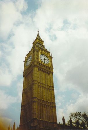
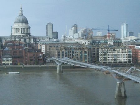
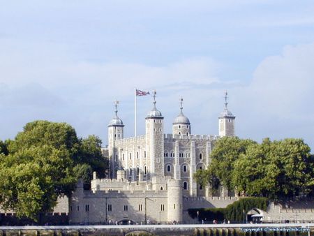
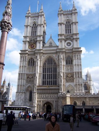
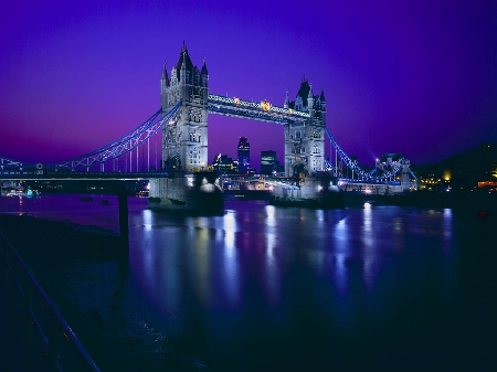
London
- mer om detta stad
- Aberdeen
- Bardon Mill, Hexham
- Bath
- Belfast
- Birmingham
- Bolton
- Bradford
- Bridgend
- Brighton
- Bristol
- Bury St Edmunds
- Cheltenham
- Chipping Sodbury
- Colchester
- Coventry
- Crieff
- Derby
- Dover Kent
- Edinburgh
- Glasgow
- Inverness
- Keswick, Cumbria
- Keynsham
- Leeds
- Leicester
- Liverpool
- London
- Manchester
- Milton Keynes
- Nailsworth
- Nottingham
- Plymouth
- Porthcawl - Wales
- Sandwell
- Shaftesbury
- Sheffield
- Stockholm - Wales
- Sunderland
- Tunbridge Wells
- Weston-super-Mare
- York
- Kontakter